
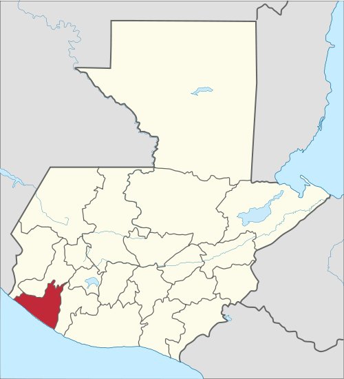
Dosya:Retalhuleu in Guatemala.svg

Bu SVG dosyasının PNG önizlemesinin boyutu: 545 × 599 piksel. Diğer çözünürlükler: 218 × 240 piksel | 436 × 480 piksel | 698 × 768 piksel | 931 × 1.024 piksel | 1.862 × 2.048 piksel | 982 × 1.080 piksel.
Tam çözünürlük (SVG dosyası, sözde 982 × 1.080 piksel, dosya boyutu: 235 KB)
Bu dosya Wikimedia Commons'ta bulunmaktadır. Dosyanın açıklaması aşağıda gösterilmiştir. Commons, serbest/özgür telifli medya dosyalarının bulundurulduğu depodur. Siz de yardım edebilirsiniz. |
Özet
.svg)
.svg)
.svg)
.svg)
.svg)
.svg)
.svg)

-en.svg)

.svg)
.svg)
.svg)

_(US48).svg)
_(small_islands_magnified)_(-mini_map_-rivers).svg)
.svg)
_(extra_close)_(US48).svg)
.svg)
_(zoom).svg)

.svg)


_(UNMIK).svg)
.svg)
_(disputed_hatched).svg)
_(claimed_and_disputed_hatched).svg)
.svg)
.svg)
_(%2Ball_claims_hatched).svg)

.svg)
_(shade).svg)
_(shade)_(special_marker).svg)
_(-mini_map).svg)
_(-mini_map).svg)
_(-mini_map).svg)


.svg)

.svg)
Lisanslama
Ben, bu işin telif sahibi, burada işi aşağıdaki lisans altında yayımlıyorum:
Bu dosya, Creative Commons Atıf 3.0 Uluslararası lisansı ile lisanslanmıştır
- Şu seçeneklerde özgürsünüz:
- paylaşım – eser paylaşımı, dağıtımı ve iletimi
- içeriği değiştirip uyarlama – eser adaptasyonu
- Aşağıdaki koşullar geçerli olacaktır:
- atıf – Esere yazar veya lisans sahibi tarafından belirtilen (ancak sizi ya da eseri kullanımınızı desteklediklerini ileri sürmeyecek bir) şekilde atıfta bulunmalısınız.

|
Yani, eğer Wikipedia veya Commons dışında kullanılan bir "Wikimedia Commons", bu medya atrribute olur. Yayınlar (örneğin, kitaplar, gazeteler, bloglar, web siteleri, vb) kullanmak için buraya Aşağıdaki satırları yerleştirin lütfen.
{{published|author= |date= |url= |title= |org= }}
Lütfen eksik bilgileri doldurun. (Örnek). Lisans koşulları hala geçerli yukarıda verilmiştir. (Bu, Google tarafından otomatik bir çeviri denemesi. Lütfen bu metni geliştirmeye yardımcı olur. Sonra metin artar bu satırı kaldırın.)
|
Dosya geçmişi
Dosyanın herhangi bir zamandaki hâli için ilgili tarih/saat kısmına tıklayın.
| Tarih/Saat | Küçük resim | Boyutlar | Kullanıcı | Yorum | |
|---|---|---|---|---|---|
| güncel | 11.35, 4 Kasım 2011 | | 982 × 1.080 (235 KB) | TUBS |
Dosya kullanımı
Bu görüntü dosyasına bağlantısı olan sayfalar:
Küresel dosya kullanımı
Aşağıdaki diğer vikiler bu dosyayı kullanmaktadır:
- ar.wikipedia.org üzerinde kullanımı
- ay.wikipedia.org üzerinde kullanımı
- bg.wikipedia.org üzerinde kullanımı
- bs.wikipedia.org üzerinde kullanımı
- ca.wikipedia.org üzerinde kullanımı
- de.wikipedia.org üzerinde kullanımı
- en.wikipedia.org üzerinde kullanımı
- Retalhuleu
- Flag of Guatemala
- Departments of Guatemala
- Retalhuleu Department
- Santa Cruz Muluá
- Champerico
- El Asintal
- Nuevo San Carlos
- San Andrés Villa Seca
- San Felipe, Retalhuleu
- San Sebastián, Retalhuleu
- Wikipedia:WikiProject Guatemala/Department templates
- Template:Retalhuleu Department
- Module:Location map/data/Guatemala Retalhuleu
- Module:Location map/data/Guatemala Retalhuleu/doc
- List of country subdivision flags in North America
- eo.wikipedia.org üzerinde kullanımı
- es.wikipedia.org üzerinde kullanımı
- Guatemala
- Departamento de Retalhuléu
- Champerico
- Retalhuléu (municipio)
- San Andrés Villa Seca
- San Sebastián (Retalhuleu)
- San Felipe (Retalhuleu)
- El Asintal
- San Martín Zapotitlán
- Santa Cruz Muluá
- Nuevo San Carlos (Retalhuleu)
- Plantilla:Departamento de Retalhuleu
- Anexo:Banderas de subdivisiones de países en América del Norte
- eu.wikipedia.org üzerinde kullanımı
- fa.wikipedia.org üzerinde kullanımı
- frr.wikipedia.org üzerinde kullanımı
- fr.wikipedia.org üzerinde kullanımı
- gl.wikipedia.org üzerinde kullanımı
Bu dosyanın daha fazla küresel kullanımını görüntüle.