
Dosya:Israel location map.svg

Bu SVG dosyasının PNG önizlemesinin boyutu: 322 × 598 piksel. Diğer çözünürlükler: 129 × 240 piksel | 258 × 480 piksel | 413 × 768 piksel | 551 × 1.024 piksel | 1.102 × 2.048 piksel | 614 × 1.141 piksel.
Tam çözünürlük (SVG dosyası, sözde 614 × 1.141 piksel, dosya boyutu: 176 KB)
Bu dosya Wikimedia Commons'ta bulunmaktadır. Dosyanın açıklaması aşağıda gösterilmiştir. Commons, serbest/özgür telifli medya dosyalarının bulundurulduğu depodur. Siz de yardım edebilirsiniz. |

|
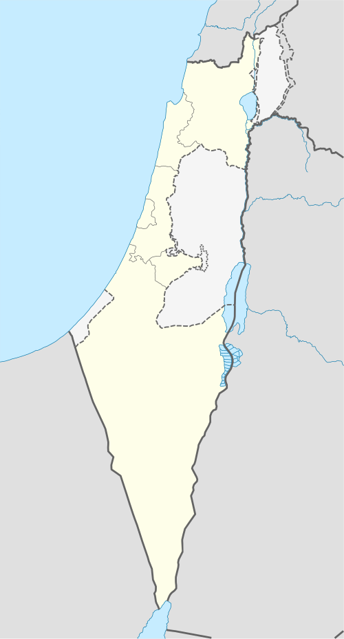
The boundaries on this map show the de facto situation. This is just one of several different views on the subject (see COM:NPOV). |
Özet
| Açıklama |
Deutsch: Positionskarte von Israel. De-facto-Situation.
Quadratische Plattkarte, N-S-Streckung 115 %. Geographische Begrenzung der Karte:
English: Location map of Israel. De facto situation.
Equirectangular projection, N/S stretching 115%. Geographic limits of the map:
|
| Tarih | |
| Kaynak |
own work, using
|
| Yazar | NordNordWest |
| Diğer sürümler |
Bu dosyanın türev çalışmaları:
|


|
This map has been made or improved in the German Kartenwerkstatt (Map Lab). You can propose maps to improve as well.
|
Lisanslama
Ben, bu işin telif sahibi, burada işi aşağıdaki lisanslar altında yayımlıyorum:

|
Bu belgenin GNU Özgür Belgeleme Lisansı, Sürüm 1.2 veya Özgür Yazılım Vakfı tarafından yayımlanan sonraki herhangi bir sürüm şartları altında bu belgenin kopyalanması, dağıtılması ve/veya değiştirilmesi için izin verilmiştir;
Değişmeyen Bölümler, Ön Kapak Metinleri ve Arka Kapak Metinleri yoktur. Lisansın bir kopyası GNU Özgür Belgeleme Lisansı sayfasında yer almaktadır. |
Bu dosya, Creative Commons Atıf-Benzer Paylaşım 3.0 Taşınmamış lisansı ile lisanslanmıştır
- Şu seçeneklerde özgürsünüz:
- paylaşım – eser paylaşımı, dağıtımı ve iletimi
- içeriği değiştirip uyarlama – eser adaptasyonu
- Aşağıdaki koşullar geçerli olacaktır:
- atıf – Esere yazar veya lisans sahibi tarafından belirtilen (ancak sizi ya da eseri kullanımınızı desteklediklerini ileri sürmeyecek bir) şekilde atıfta bulunmalısınız.
- benzer paylaşım – Maddeyi yeniden düzenler, dönüştürür veya inşa ederseniz, katkılarınızı özgünüyle aynı veya uyumlu lisans altında dağıtmanız gerekir.
İstediğiniz lisansı seçebilirsiniz.
Dosya geçmişi
Dosyanın herhangi bir zamandaki hâli için ilgili tarih/saat kısmına tıklayın.
| Tarih/Saat | Küçük resim | Boyutlar | Kullanıcı | Yorum | |
|---|---|---|---|---|---|
| güncel | 14.41, 16 Haziran 2018 | | 614 × 1.141 (176 KB) | Jdx | Reverted to version as of 09:34, 16 June 2018 (UTC) |
| 14.05, 16 Haziran 2018 |  | 614 × 1.141 (118 KB) | Beebbeebe | Reverted to version as of 00:41, 16 June 2018 (UTC) don't revert without motivating why your version is better | |
| 09.34, 16 Haziran 2018 |  | 614 × 1.141 (176 KB) | NordNordWest | Reverted to version as of 20:16, 14 May 2018 (UTC); please write your hundred articles and respect Commons:Overwriting existing files | |
| 00.41, 16 Haziran 2018 |  | 614 × 1.141 (118 KB) | Beebbeebe | Reverted to version as of 19:25, 14 May 2018 (UTC) The current map is simply incorrect. And I don't want to upload a new one, I'll have to edit more than a hundred wiki-articles. | |
| 20.16, 14 Mayıs 2018 |  | 614 × 1.141 (176 KB) | NordNordWest | Commons:Overwriting existing files#Controversial or contested changes even has to be respected by User:Eric's son | |
| 19.25, 14 Mayıs 2018 |  | 614 × 1.141 (118 KB) | Eric's son | Reverted to version as of 18:50, 10 March 2018 (UTC) | |
| 03.54, 14 Mayıs 2018 |  | 614 × 1.141 (176 KB) | Nableezy | Reverted to version as of 23:24, 5 March 2018 (UTC) yes you can, this map shows the occupied territories as separate make another if you want | |
| 18.50, 10 Mart 2018 |  | 614 × 1.141 (118 KB) | Eric's son | Again, you cant compare gaza to golan. Reverted to version as of 00:44, 20 January 2018 (UTC) | |
| 23.24, 5 Mart 2018 |  | 614 × 1.141 (176 KB) | Nableezy | Reverted to version as of 21:07, 14 April 2014 (UTC) restore convention of black lines for international borders and dashed lines for disputed boundaries | |
| 00.44, 20 Ocak 2018 |  | 614 × 1.141 (118 KB) | Eric's son | Fixing small details in the green line |
Dosya kullanımı
Bu görüntü dosyasına bağlantısı olan sayfalar:
- 1964 AFC Asya Kupası
- 2013 UEFA Avrupa 21 Yaş Altı Futbol Şampiyonası
- 2019 Eurovision Şarkı Yarışması
- Arad, İsrail
- Azor
- Bet Şean
- Beth Zur
- Dimona
- Ein Karem
- Giv'at Şmuel
- Givatayim
- Haraşim
- Hertsliya
- Holon
- Kafr Kasım
- Kalansuva
- Kalkilya
- Kfar Kama
- Kfar Saba
- Kfar Yona
- Kfar Şemaryahu
- Kiryat Ata
- Kiryat Bialik
- Kiryat Malahi
- Kiryat Yam
- Kudüs
- Kudüs Kuşatması (1244)
- Lut Gölü
- Metula
- Modi'in-Makkabim-Re'ut
- Modi'in İllit
- Nehariya
- Netanya
- Nof HaGalil
- Ofakim
- Rahat
- Ramat HaŞaron
- Roş HaAyin
- Safed
- Sderot
- Sufa, İsrail
- Taberiye Gölü
- Tayyibe
- Tel Aviv
- Tire, İsrail
- Tulkarim
- Yehud-Monosson
- Yokneam İllit
- Ümmü'l-Fehm
- İsrail
- Şoham
- Kullanıcı:Wwww8888/deneme tahtası
- Şablon:İsrail etiketli harita
- Modül:Konum haritası/veri/İsrail
- Modül:Konum haritası/veri/İsrail/belge
Küresel dosya kullanımı
Aşağıdaki diğer vikiler bu dosyayı kullanmaktadır:
- af.wikipedia.org üzerinde kullanımı
- als.wikipedia.org üzerinde kullanımı
- am.wikipedia.org üzerinde kullanımı
- ar.wikipedia.org üzerinde kullanımı
Bu dosyanın daha fazla küresel kullanımını görüntüle.