
Dosya:Germany adm location map.svg

Bu dosya Wikimedia Commons'ta bulunmaktadır. Dosyanın açıklaması aşağıda gösterilmiştir. Commons, serbest/özgür telifli medya dosyalarının bulundurulduğu depodur. Siz de yardım edebilirsiniz. |
Özet
| Açıklama |
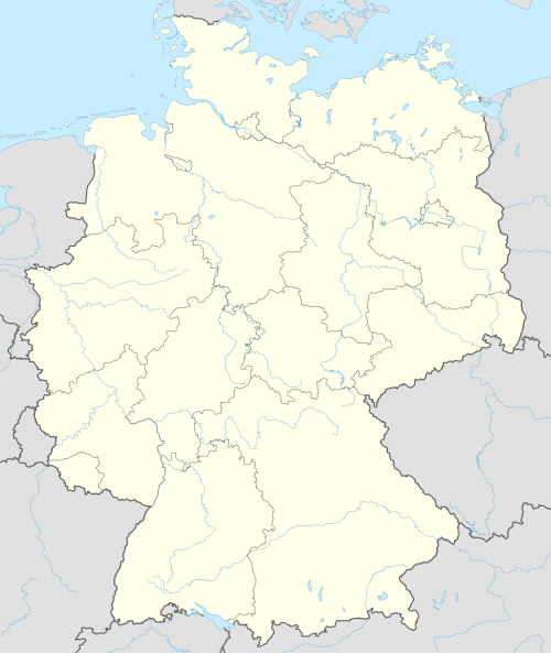
Deutsch: Positionskarte von Deutschland
English: Location map of Germany
|
||||||||||||
| Tarih | |||||||||||||
| Kaynak |
Own work using:
|
||||||||||||
| Yazar | NordNordWest | ||||||||||||
| SVG gelişimi |
|
||||||||||||

Lisanslama
Usage of this file with:

explanatory notes: Legally binding is only the full legalcode. For a free usage I recommend to respect the following licence conditions:
1. Provide my name as given above: NordNordWest,
2. a copy of, or the URI for, the applicable license: https://creativecommons.org/licenses/by-sa/3.0/de/legalcode,
3. the title of the work,
4. in the case of an adaptation, a credit identifying the use of the work in the adaptation.
This license and the rights granted hereunder will terminate automatically upon any breach by you of the terms of this license. Any of the above conditions can be waived if you get permission from the copyright holder. If you have questions or wish differing conditions, please contact me through nnwest or my discussion page ![]() t-online.de
t-online.de
- Şu seçeneklerde özgürsünüz:
- paylaşım – eser paylaşımı, dağıtımı ve iletimi
- içeriği değiştirip uyarlama – eser adaptasyonu
- Aşağıdaki koşullar geçerli olacaktır:
- atıf – Esere yazar veya lisans sahibi tarafından belirtilen (ancak sizi ya da eseri kullanımınızı desteklediklerini ileri sürmeyecek bir) şekilde atıfta bulunmalısınız.
- benzer paylaşım – Maddeyi yeniden düzenler, dönüştürür veya inşa ederseniz, katkılarınızı özgünüyle aynı veya uyumlu lisans altında dağıtmanız gerekir.

Dosya geçmişi
Dosyanın herhangi bir zamandaki hâli için ilgili tarih/saat kısmına tıklayın.
| Tarih/Saat | Küçük resim | Boyutlar | Kullanıcı | Yorum | |
|---|---|---|---|---|---|
| güncel | 17.46, 15 Eylül 2014 | | 1.073 × 1.272 (643 KB) | NordNordWest | == {{int:filedesc}} == {{Information |Description= {{de|1=Positionskarte von Deutschland}} {{en|1=Location map of Germany}} {{Location map series N |top=55.1 |bottom=47.2 |left=5.5 |right=15.5 }} |Source={{Own using}} * United States National Imagery a... |
Dosya kullanımı
100 sayfadan fazlası bu dosyayı kullanıyor. Aşağıdaki listede sadece bu dosyayı kullanan ilk 100 sayfa gösterilmektedir. Tam listesi mevcuttur.
- 2006 FIFA Dünya Kupası
- Albersdorf
- Appen
- Arkebek
- Augsburg
- Averlak
- Bargenstedt
- Barmstedt
- Berlin
- Bevern
- Bielefeld
- Bilsen
- Bochum
- Bokel
- Bokholt-Hanredder
- Bonn
- Borstel-Hohenraden
- Bottrop
- Brande-Hörnerkirchen
- Bremen
- Bullenkuhlen
- Bundesliga
- Bönningstedt
- Calw
- Chemnitz
- Dortmund
- Duisburg
- Ellerbek
- Ellerhoop
- Elmshorn
- Essen
- Flensburg
- Frankfurt
- Freiburg im Breisgau
- Gelsenkirchen
- Groß Nordende
- Groß Offenseth-Aspern
- Hagen
- Halstenbek
- Hamm
- Hannover
- Haselau
- Haseldorf
- Hasloh
- Heede
- Heidelberg
- Heidgraben
- Heist
- Helgoland
- Hemdingen
- Herne, Kuzey Ren-Vestfalya
- Hetlingen
- Hofheim am Taunus
- Holm
- Husum
- Kaiserslautern
- Karlsruhe
- Kassel
- Kiel
- Klein Nordende
- Klein Offenseth-Sparrieshoop
- Konstanz
- Krefeld
- Kummerfeld
- Kölln-Reisiek
- Langeln
- Leipzig
- Leverkusen
- Lutzhorn
- Lübeck
- Mainz
- Mannheim
- Moorrege
- Mönchengladbach
- Münih
- Münster
- Neuendeich
- Neumünster
- Oberhausen
- Osterhorn
- Plön
- Potsdam
- Prisdorf
- Quickborn
- Raa-Besenbek
- Rellingen
- Remscheid
- Saarbrücken
- Schenefeld
- Seester
- Seestermühe
- Seeth-Ekholt
- Stuttgart
- Tangstedt
- Tornesch
- Trier
- Uetersen
- Ulm
- Wedel
- Westerhorn
Bu dosyaya daha fazla bağlantıları gör.
Küresel dosya kullanımı
Aşağıdaki diğer vikiler bu dosyayı kullanmaktadır:
- af.wikipedia.org üzerinde kullanımı
- Heiligendamm
- Lughawe Frankfurt
- Züsedom
- Breinigerberg
- Passau
- Berlyn-Brandenburg Internasionale Lughawe
- Caputh
- Tempelhof-lughawe
- Brobergen
- Bayreuth
- Bimmen
- FIFA Sokker-Wêreldbekertoernooi in 2006
- FIFA Sokker-Konfederasiebeker in 2005
- Kronberg im Taunus
- Eschborn
- Schwalbach am Taunus
- Steinstücken
- Eltville am Rhein
- Bad Homburg vor der Höhe
- Friedrichsdorf
- Hanau
- Limburg an der Lahn
- Lorsch
- Gelnhausen
- Gießen
- Königstein im Taunus
- Freudenstadt
- Sylt (munisipaliteit)
- Kiedrich
- Selters (Taunus)
- Hochheim am Main
- Sellin
- Friedersdorf (Heidesee)
- Oberbillig
- Neuendettelsau
- Geesterivier
- Hamburg Lughawe
- Düsseldorf Lughawe
- Duitse nasionale krieketspan
- ar.wikipedia.org üzerinde kullanımı
Bu dosyanın daha fazla küresel kullanımını görüntüle.